Bild:Map of Oregon highlighting Curry County.svg

Größe der PNG-Vorschau dieser SVG-Datei: 800 × 596 Pixels. Anner Oplösungen: 320 × 239 Pixels | 640 × 477 Pixels | 1.024 × 764 Pixels | 1.280 × 954 Pixels | 2.560 × 1.909 Pixels | 6.451 × 4.810 Pixels.
Originaldatei (SVG-Datei, Utgangsgrött: 6.451 × 4.810 Pixel, Dateigrött: 136 KB)
| Disse Datei warrt direkt vun Wikimedia Commons inbunnen. Angaven to'n Autor un de Lizenz staht op de Sied to de Datei bi Commons. |
Beschrieven
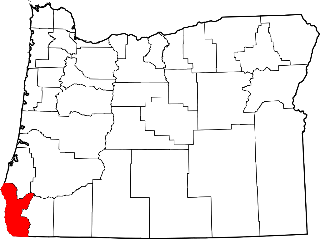
- Locator map of Curry County in southwestern Oregon.
David Benbennick made this map. For more information, see Commons:United States county locator maps.
| Ich, der Urheberrechtsinhaber dieses Werkes, veröffentliche es als gemeinfrei. Dies gilt weltweit. Wenn dat na lokale Rechtslaag nich mööglich is, gellt: Ich gewähre jedem das bedingungslose Recht, dieses Werk für jedweden Zweck zu nutzen, es sei denn, Bedingungen sind gesetzlich erforderlich. |
Datei-Historie
Klick op de Tiet, dat du de Datei ankieken kannst, so as se do utseeg.
| Datum/Tiet | Duumnagelbild | Grött | Bruker | Kommentoor | |
|---|---|---|---|---|---|
| aktuell | 18:16, 12. Feb. 2006 | | 6.451 × 4.810 (136 KB) | David Benbennick | {{subst:User:Dbenbenn/clm|county=Curry County|state=Oregon|type=county}} |
Dateibruuk
Disse Sied bruukt dit Bild:
Allmeen Datei-Bruuk
Disse annern Wikis bruukt disse Datei:
- Bruuk op ar.wikipedia.org
- Bruuk op bg.wikipedia.org
- Bruuk op bpy.wikipedia.org
- Bruuk op ca.wikipedia.org
- Bruuk op cdo.wikipedia.org
- Bruuk op ceb.wikipedia.org
- Bruuk op ce.wikipedia.org
- Bruuk op cy.wikipedia.org
- Bruuk op de.wikipedia.org
- Bruuk op en.wikipedia.org
- List of counties in Oregon
- Curry County, Oregon
- Brookings, Oregon
- Gold Beach, Oregon
- Harbor, Oregon
- Port Orford, Oregon
- Confederated Tribes of Coos, Lower Umpqua and Siuslaw Indians
- Langlois, Oregon
- Agness, Oregon
- Carpenterville, Oregon
- Pistol River, Oregon
- Sixes, Oregon
- Wedderburn, Oregon
- Template:Curry County, Oregon
- Nesika Beach, Oregon
- User:Nyttend/County templates/OR
- Ophir, Oregon
- National Register of Historic Places listings in Curry County, Oregon
- User:Lhammer610/Sandbox
- Ophir Beach
- Barley Beach
- Illahe, Oregon
- Marial, Oregon
- Denmark, Oregon
- Category:Populated places in Curry County, Oregon
- Bagnell Ferry, Oregon
- Plum Trees, Oregon
- Hunter Creek, Oregon
- Frankport, Oregon
Kiek na mehr almeen Bruuk von disse Datei.