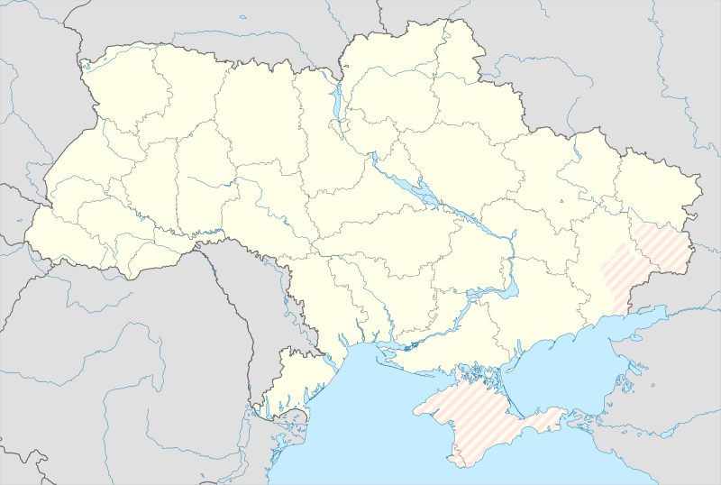
Bild:Ukraine under russian occupation.svg

Größe der PNG-Vorschau dieser SVG-Datei: 800 × 538 Pixels. Anner Oplösungen: 320 × 215 Pixels | 640 × 430 Pixels | 1.024 × 688 Pixels | 1.280 × 860 Pixels | 2.560 × 1.720 Pixels | 3.780 × 2.540 Pixels.
Originaldatei (SVG-Datei, Utgangsgrött: 3.780 × 2.540 Pixel, Dateigrött: 1,85 MB)
Datei-Historie
Klick op de Tiet, dat du de Datei ankieken kannst, so as se do utseeg.
| Datum/Tiet | Duumnagelbild | Grött | Bruker | Kommentoor | |
|---|---|---|---|---|---|
| aktuell | 03:45, 17. Mai 2024 |  | 3.780 × 2.540 (1,85 MB) | Physeters | add detail to dnipro delta |
| 16:45, 9. Aug. 2023 |  | 3.780 × 2.540 (1,36 MB) | Dƶoxar | Until the war ends it has no sense to maintain another map with actual frontline | |
| 10:32, 25. Jul. 2023 |  | 3.780 × 2.540 (1,64 MB) | ASDFPM | Reverted to version as of 17:17, 3 October 2022 (UTC) | |
| 03:45, 12. Nov. 2022 |  | 3.780 × 2.540 (1,36 MB) | Qexypnos | Reverted to version as of 17:02, 3 March 2018 (UTC) | |
| 18:17, 3. Okt. 2022 |  | 3.780 × 2.540 (1,64 MB) | Janitoalevic | Update | |
| 18:02, 3. Mär 2018 |  | 3.780 × 2.540 (1,36 MB) | Yakiv Gluck | improved using new adm loc map | |
| 02:08, 27. Jan. 2018 |  | 1.546 × 1.038 (457 KB) | Yakiv Gluck | {{Information |Description ={{en|Location map of Ukraine under russian occupation.}} {{uk|Карта України з зонами російської окупації.}} |Source =own work, using [[:F... |
Dateibruuk
Kene Siet bruukt dat Bild.
Allmeen Datei-Bruuk
Disse annern Wikis bruukt disse Datei:
- Bruuk op an.wikipedia.org
- Bruuk op ast.wikipedia.org
- Bruuk op de.wikipedia.org
- Bruuk op en.wikipedia.org
- Bruuk op es.wikipedia.org
Kiek na mehr almeen Bruuk von disse Datei.

