Mount Archer (Antarktika)
| Mount Archer | ||
|---|---|---|
| Barggrupp: | ||
| Hööchd: | ? m över de See | |
| Laag: | Oates-Küst, Viktorialand, Oostantarktika | |
| Kuntinent: | Antarktika | |
| Normaalweg | Hoochtour (vergletschert) | |
| Koordinaten: | Koordinaten:69° 12′ S, 157° 39′ O69° 12′ S, 157° 39′ O | |
|
| ||
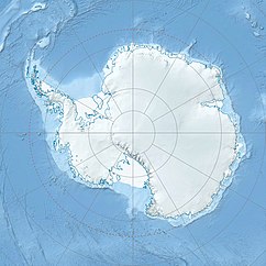
Mount Archer is en felsigen Barg an de Oates-Küst in’n Noorden von Viktorialand, Oostantarktika. He liggt stracks süden von’n Archer Point op de Westsied von de Harald Bay.
Karteert worrn is de Barg mit Luftopnahmen, de in’n Februar 1959 bi en Forschungsreis von de Australian National Antarctic Research Expeditions ünner Leid von’n austraalschen Polarforscher Phillip Law maakt worrn sünd. Naamgever is as bi’n Archer Point Walter William Archer (1869–1944), de Smuut bi de brietsche Terra-Nova-Expeditschoon (1910–1913) weer.
Weblenken
ännern- Mount Archer in dat Geographic Names Information System von’n United States Geological Survey (engelsch)
- Mount Archer op geographic.org (engelsch)
