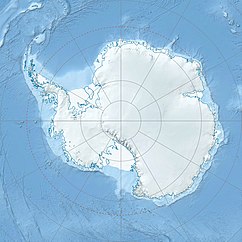
Mount Arrowsmith (Antarktika)
| Mount Arrowsmith | ||
|---|---|---|
| Barggrupp: | Transantarktische Bargen | |
| Hööchd: | ? m över de See | |
| Laag: | Viktorialand, Oostantarktika | |
| Kuntinent: | Antarktika | |
| Normaalweg | Hoochtour (vergletschert) | |
| Koordinaten: | Koordinaten:76° 46′ S, 162° 18′ O76° 46′ S, 162° 18′ O | |
|
| ||
Mount Arrowsmith is en Topp in Viktorialand, Oostantarktika. He liggt över en 3 km lang Rebeed langs en Bargrügg, de von’n Mount Perseverance ut na Noordoosten verlöppt un von’n Mount Whitcombe navert warrt.
De nöördliche neeseelandsche Meetmannschop von de Commonwealth Trans-Antarctic Expedition (1955–1958) hett em 1957 karteert un em von wegen siene Ähnlichkeit mit’n Mount Arrowsmith in de Region Canterbury von Neeseeland nöömt.
Weblenken
ännern- Mount Arrowsmith in dat Geographic Names Information System von’n United States Geological Survey (engelsch)
- Mount Arrowsmith op geographic.org (engelsch)
